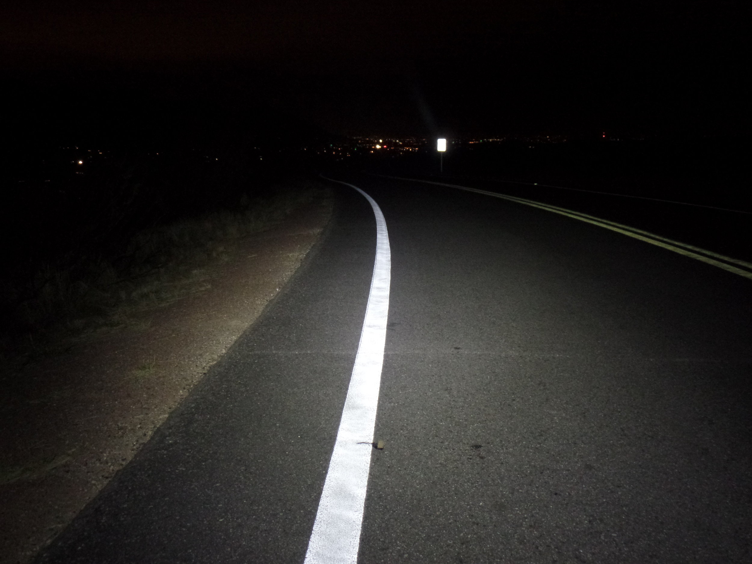
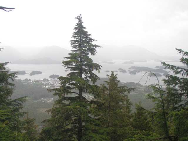
Headwinds greeted us as we journeyed east out of Adrian, TX. It was mid-September and the weather was changing as we could see our breath in the morning shuffle to pack our bikes, eat, shake the tiredness from our legs and take a quick blood sugar to see where my blood sugars were residing. Our timing for this adventure would reveal outstanding Fall colors while scrambling for warmer clothing as the temperatures began to sink. No matter, each day was
amazing and a true revealing of the wonderful American spirit and hospitality.

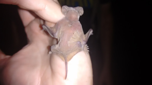
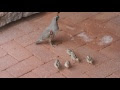
We are joined by a overly friendly dog - Between Adrian and Amarillo, TX
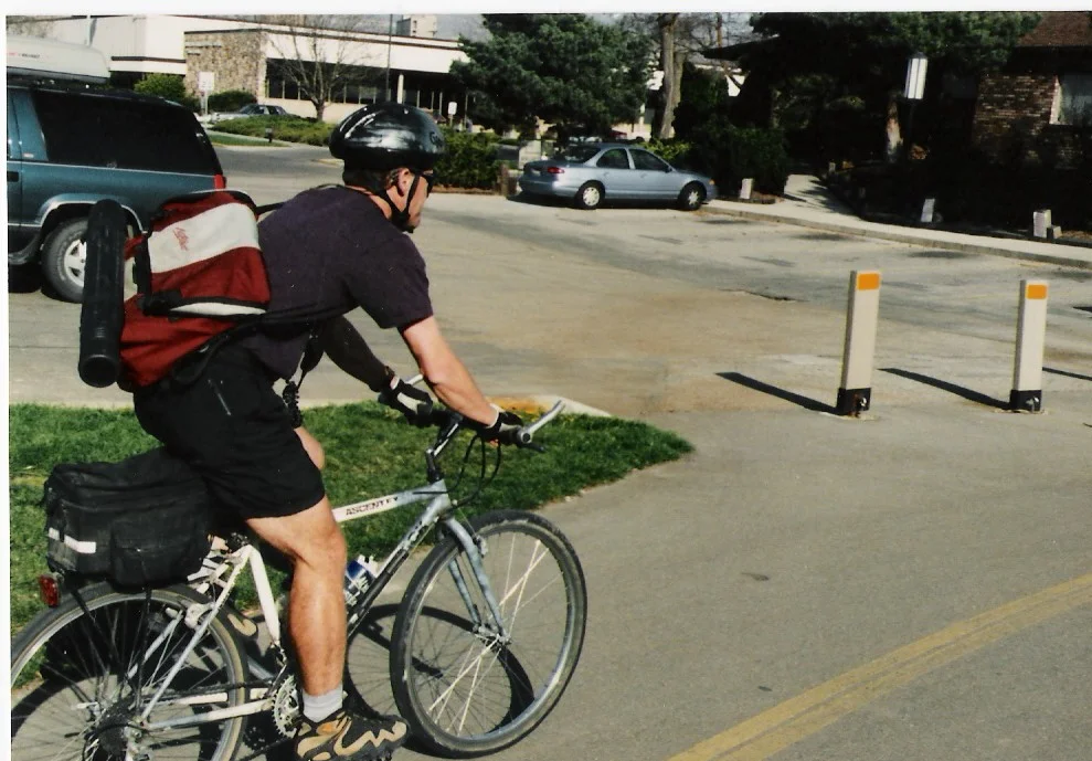
Going through my journal from the trip, I see that on this short segment while we pulled onto an on-ramp I would grab onto a truck bumper and got a free, yet limited ride. Yes, I have just disallowed my riding a bicycle from Tucson, AZ to Yorktown, VA.

This short Texas segment also included the dog in the photo above. Rog had stopped to pet the Toto and soon the dog had chosen us as his new owners. He went Crazy! The photo must be me and said dog as he/she, for some silly reason, elected to stick by me mimicking a tick. Rog found this to be of supreme humor. After 3+ miles (at 14 miles per hour) Toto tuckered out and was seen no more.

One of the all-time best billboards ever created - Oklahoma
Good fortune would see us at Wayland Baptist University, for a visit with Roger's brother, Lance. Four walls and a roof over your head is a special highlight when you are seeing your breath in the morning. Also, we managed to play some basketball, frisbee and continued our tradition of eating almost everything in sight.
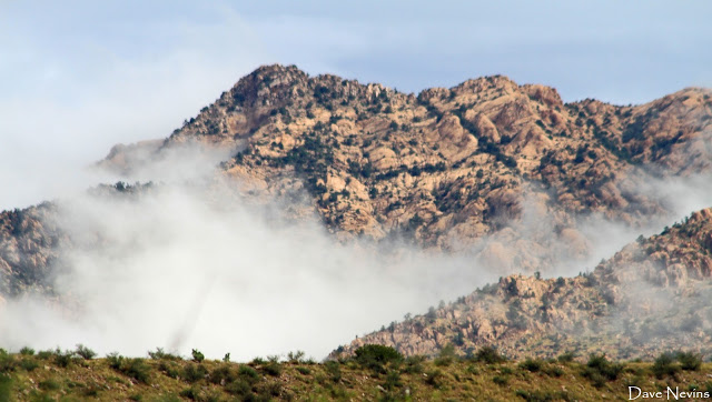
Lance drove us back to the route where a flash flood and tornado had touched the area the day before. More good timing for bike riders who prefer to avoid tornado's when possible. We would encounter some of the wet stuff and it was apparent that we were heading into a storm. Roger likes these rough, snotty conditions. I am not craving misery, although I have an ability to deal with most anything that is tossed my way or deluges from above.
A 109-mile day and we were into Oklahoma and pretty much out. The panhandle of OK is short by all standards and we rolled into Kansas, my birthplace and home for all of six months. This would be our third 100+ mile day. I still think back to how incredible this was as we were carrying loads that should only be transported by something with a machine designed to convert one form of energy into mechanical energy. Yes, an engine.

Both of us with my Grandma (Eleanor Gottschalk) in Hays, KS

Roger would share during this segment, "This whole thing is still novel. If the time is right and the music inspiring, I'll get goosebumps all over my legs and my understanding will tingle with joy, just thinking about how fun this is."